


Economisez 20%
Blackweek
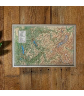
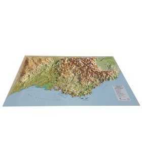
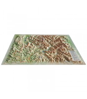
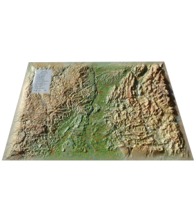
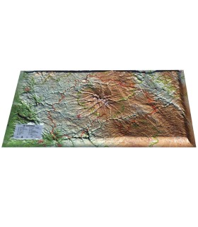
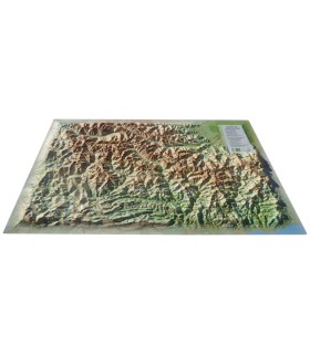
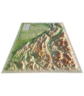
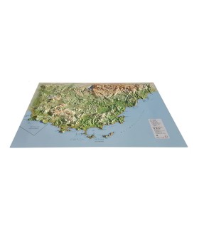
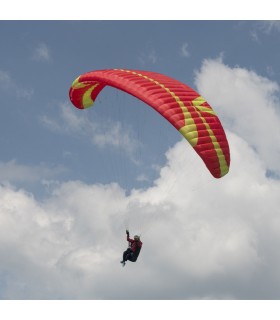
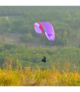
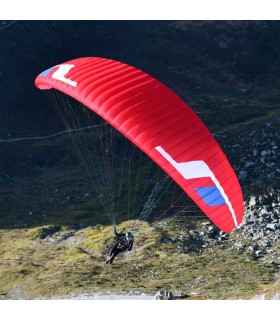
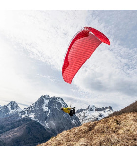
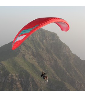
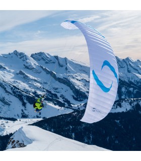
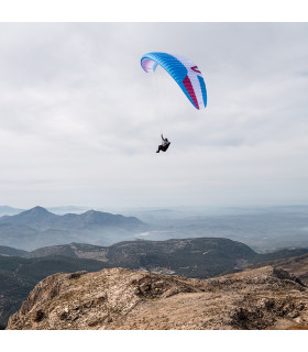
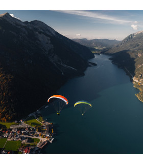
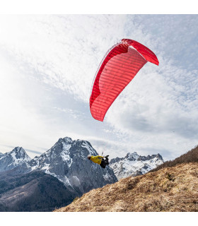
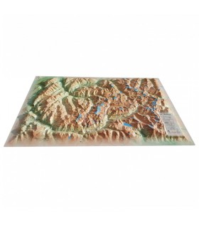
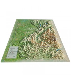
Discover the Haute-Savoie department as you've never seen it before with this 3DMap relief map. It's uniquely accurate, so you'll easily find the region's mountain ranges and important paragliding take-off and landing points, as well as lots of other useful information.
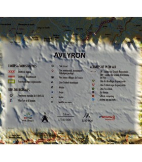
Dimensions (cm) : 41 x 61
Scale : 1/230,000
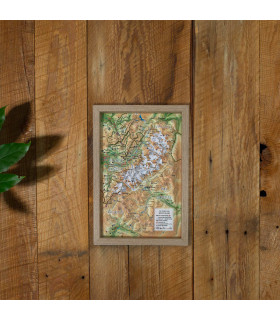
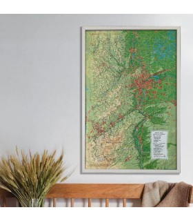
Possibility of adding a frame
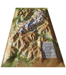
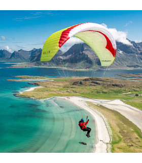
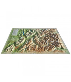
The 3DMap relief map of Haute-Savoie shows you the most beautiful places in the region. From Lac Léman to Lac d'Annecy, via the Haut-Jura massif, the peaks of the Bauges massif and the roof of Europe, Mont-Blanc, this map will meet all your expectations. You'll find, for example, paragliding sites and airfields in Haute-Savoie, natural sites, mountain refuges, and lots of other useful information:
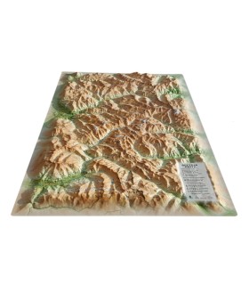
3DMap brand maps have revolutionized the 3D map market. They are the fruit of major R&D efforts, and offer incomparable quality.
For a better presentation, we recommend that you complete your relief map with a frame (available in 4 colors).
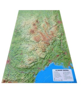
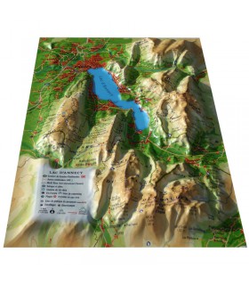
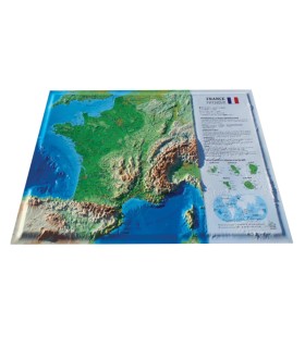
Air et Aventure also offers a wide range of other 3DMap relief maps. Don't hesitate to discover them!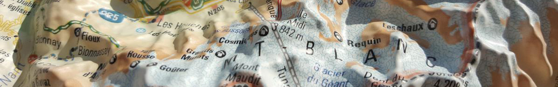
Data sheet
Discover the Haute-Savoie department as you've never seen it before with this 3DMap relief map. It's uniquely accurate, so you'll easily find the region's mountain ranges and important paragliding take-off and landing points, as well as lots of other useful information.
Dimensions (cm) : 41 x 61
Scale : 1/230,000
Possibility of adding a frame
 Garanties sécurité
(à modifier dans le module "Réassurance")
 Politique de livraison
(à modifier dans le module "Réassurance")
 Politique retours
(à modifier dans le module "Réassurance")