


Economisez 20%
Blackweek
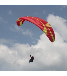
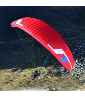
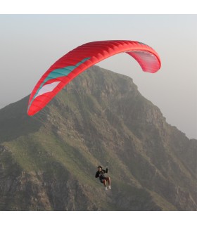
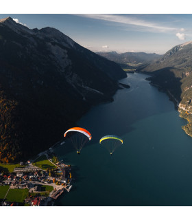
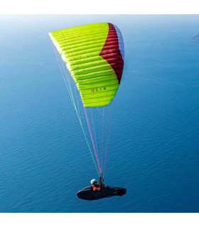
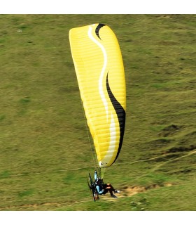
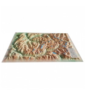
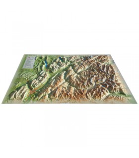
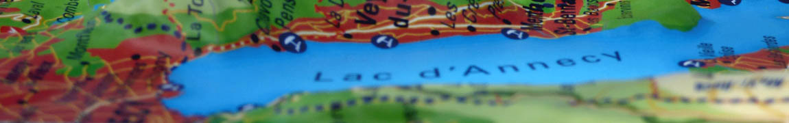
Discover this mini relief map of Lake Annecy. A famous lake in the French Hautes-Alpes region, Lake Annecy is world-famous. Its location and scenery make it a must for paragliding enthusiasts.
Dimensions (cm) : 20 x 30
Planimetric scale : 1/120,000
Height scale : 1/90,000
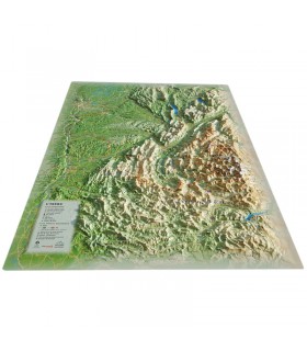
Discover 3DMap's mini relief map of Lake Annecy. You'll find it easy to guide you around the famous lake in the French Alps. Its reliefs and indications will make it easy to read and understand.
You'll find a wealth of information on this mini-map:
The mini relief map of Lake Annecy is compact and easy to transport. You can easily slip it into your rucksack when hiking or walking.
3DMap brand maps are made entirely in France. They are the fruit of major R&D efforts. They break with old-fashioned relief maps by offering superior quality.
What's more, 3D processing software has been specifically developed to enable wider use of geographic information, such as bathymetric data.
Data sheet
 Garanties sécurité
(à modifier dans le module "Réassurance")
 Politique de livraison
(à modifier dans le module "Réassurance")
 Politique retours
(à modifier dans le module "Réassurance")


Discover this mini relief map of Lake Annecy. A famous lake in the French Hautes-Alpes region, Lake Annecy is world-famous. Its location and scenery make it a must for paragliding enthusiasts.
Dimensions (cm) : 20 x 30
Planimetric scale : 1/120,000
Height scale : 1/90,000