


Economisez 20%
Blackweek
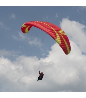
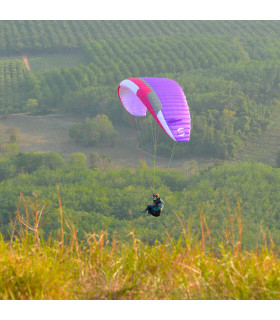
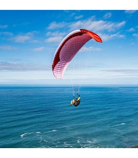
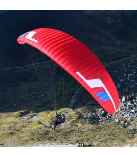
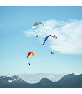
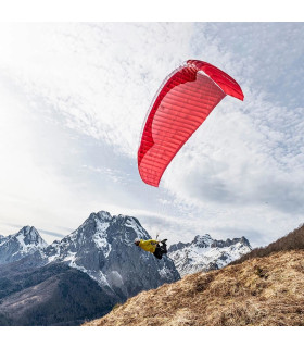
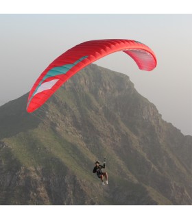
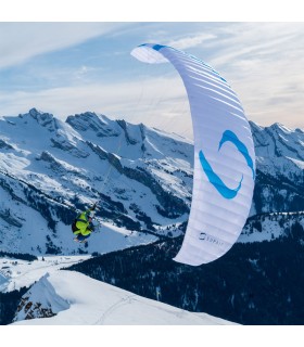
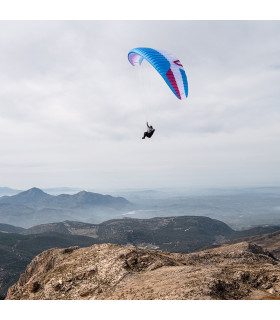
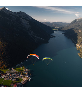
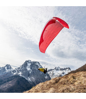
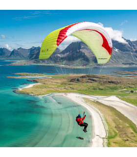
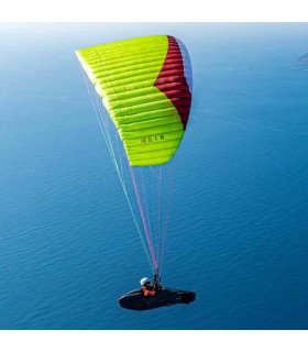
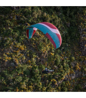
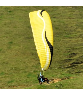
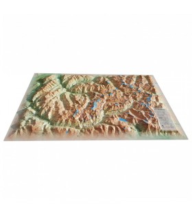
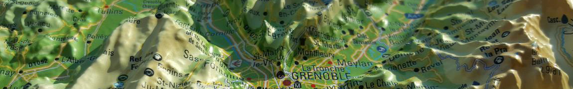
This relief map features the Isère department. Thanks to its perfect accuracy, you'll easily find the region's mountain ranges and the ideal places for paragliding take-offs and landings, as well as lots of other useful information.
Dimensions (cm): 41 x 61
Scale: 1/370 000
Possibility of adding a frame
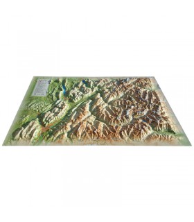
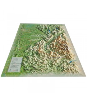
This relief map of Isère shows you the most beautiful places in the region. From Laragne to Annecy, it will guide you through the Alpine massifs of the Hautes-Alpes, Ecrins, Belledonne, Vercors, Chartreuse and Beauges. You'll find paragliding sites, ski resorts, Via Ferrata sites and much more:
3DMap brand maps are the fruit of major R&D efforts, and offer exceptional quality that breaks with the mould of old relief maps.
In addition, 3D processing software has been specifically developed to enable wider use of geographic information, such as bathymetric data.
For a better presentation, we recommend that you complete your relief map with a frame (available in 4 colors).
Data sheet
 Garanties sécurité
(à modifier dans le module "Réassurance")
 Politique de livraison
(à modifier dans le module "Réassurance")
 Politique retours
(à modifier dans le module "Réassurance")


This relief map features the Isère department. Thanks to its perfect accuracy, you'll easily find the region's mountain ranges and the ideal places for paragliding take-offs and landings, as well as lots of other useful information.
Dimensions (cm): 41 x 61
Scale: 1/370 000
Possibility of adding a frame