


Economisez 20%
Blackweek
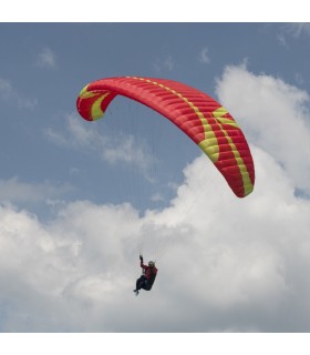
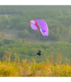
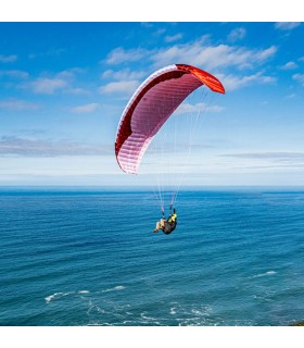
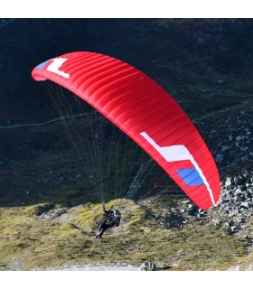
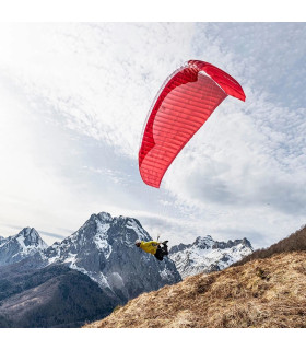
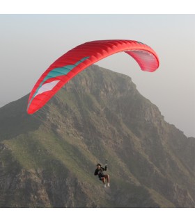
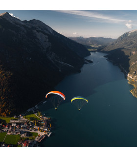
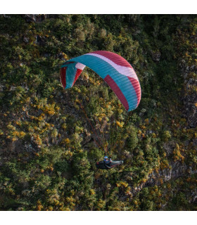
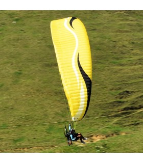
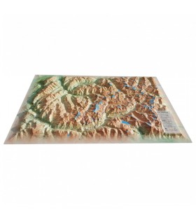
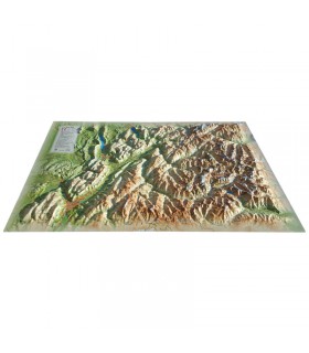
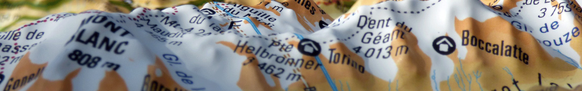
Discover this mini relief map of the Mont Blanc tour. Centered on Europe's most famous peak, this uncommonly accurate map will give you a whole new perspective on the "Roof of Europe". What's more, this ideally-formatted mini-map features a wealth of useful information, such as paragliding sites.
Dimensions (cm) : 20 x 30
Planimetric scale : 1/200,000
Height scale: 1/160,000
Discover the mini relief map of the Tour du Mont Blanc. It will guide you through the most beautiful parts of the emblematic European summit. Trails, ski resorts and paragliding sites are all easily identifiable thanks to the perfect relief of this 3DMap. It also provides a wealth of other useful information, such as sports and hiking sites:
Entirely manufactured in France, 3DMap brand maps are the fruit of major R&D efforts. They offer exceptional quality, breaking away from the old relief maps. What's more, 3D processing software has been specifically designed to enable wider use of geographic information, such as bathymetric data.
The mini relief map of Tignes Val d'Isère is compact enough to carry with you. In fact, you can easily slip it into your rucksack when hiking or walking.
Data sheet
 Garanties sécurité
(à modifier dans le module "Réassurance")
 Politique de livraison
(à modifier dans le module "Réassurance")
 Politique retours
(à modifier dans le module "Réassurance")


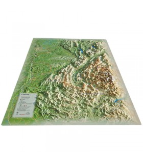
Discover this mini relief map of the Mont Blanc tour. Centered on Europe's most famous peak, this uncommonly accurate map will give you a whole new perspective on the "Roof of Europe". What's more, this ideally-formatted mini-map features a wealth of useful information, such as paragliding sites.
Dimensions (cm) : 20 x 30
Planimetric scale : 1/200,000
Height scale: 1/160,000