


Economisez 20%
Blackweek
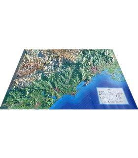
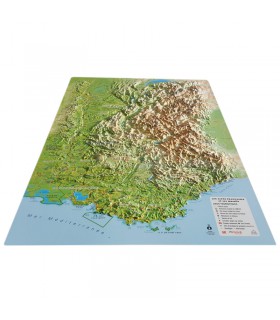
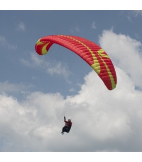
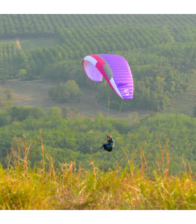
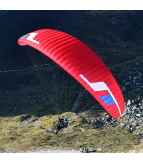
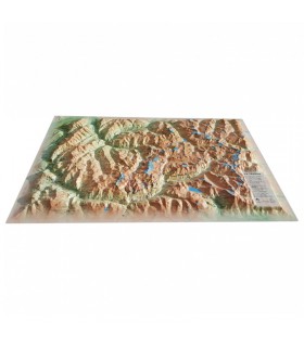
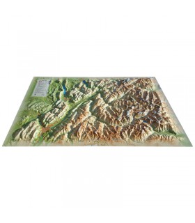
This relief map features the Hautes Alpes region. Thanks to the quality of its design, you'll be able to easily locate the region's mountains and the ideal places to take off or land a paraglider, as well as a host of other useful information.
Dimensions (cm) : 41 x 61
Scale : 1/290 000
Possibility of adding a frame
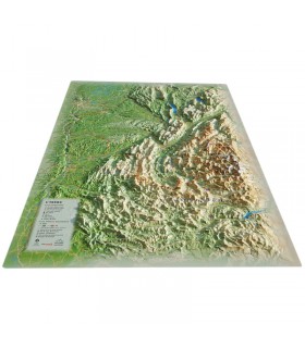
Decorate your living room with 3D Map's relief map of the Hautes Alpes. From the Massif des Ecrins to the Queyras Regional Park, discover the sumptuous mountains and valleys between the Drôme and the Italian border. See paragliding sites, ski resorts, Via Ferrata sites and much more:
3DMap brand maps offer printing quality far superior to that of older relief maps. This is the fruit of major R&D efforts and French design.
In addition, 3D processing software has been specifically developed to enable wider use of geographic information, such as bathymetric data.
For a better presentation, complete your relief map with a suitable frame (available in 4 colors).
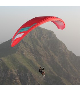
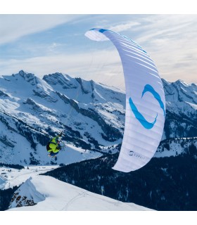
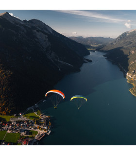
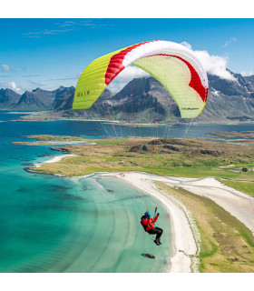
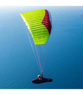
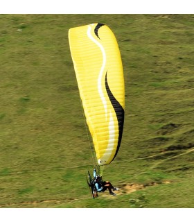
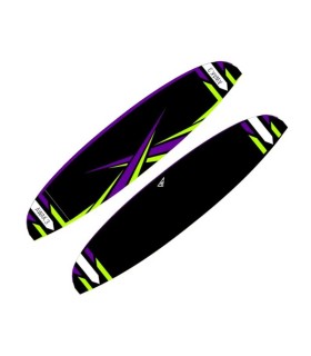
Available in 4 versions:
Please note thatAir et Aventure also offers many other 3DMap relief maps. Don't hesitate to discover them!
Data sheet
This relief map features the Hautes Alpes region. Thanks to the quality of its design, you'll be able to easily locate the region's mountains and the ideal places to take off or land a paraglider, as well as a host of other useful information.
Dimensions (cm) : 41 x 61
Scale : 1/290 000
Possibility of adding a frame
 Garanties sécurité
(à modifier dans le module "Réassurance")
 Politique de livraison
(à modifier dans le module "Réassurance")
 Politique retours
(à modifier dans le module "Réassurance")