


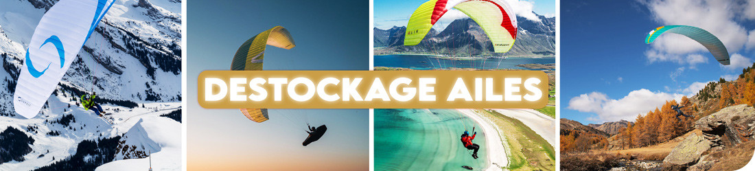


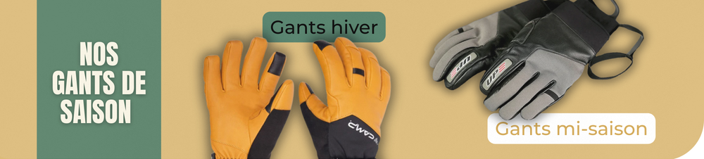


Economisez 20%
Blackweek
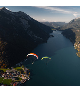
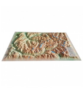
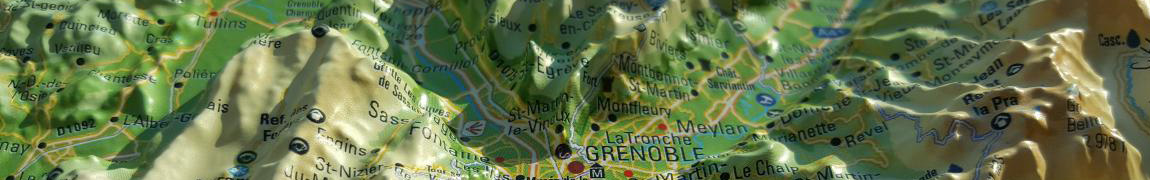
Fly over the Vercors and Chartreuse national parks with this 3D map from 3DMap. With its rare precision, this map faithfully recreates the relief of this magnificent region.
Dimensions (cm): 41 x 61
Scale: 1:20,000
Possibility of adding a frame
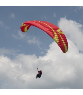
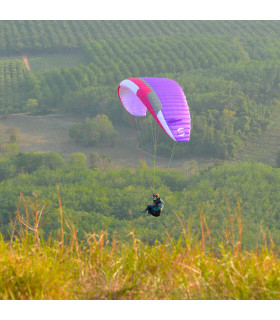
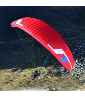
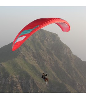
The Vercors and Chartreuse relief map presents this incredible region from a unique angle. It gives you a close-up view of the Vercors and Chartreuse national parks. You'll find paragliding sites, ski resorts, Via Ferrata sites and much more:
3DMap brand maps provide a simple and unique way of understanding a region or mountain range. In fact, the 3D reliefs on these maps are extremely useful for visualizing and identifying the local topography. What's more, they provide a wealth of information that can be used to study hiking routes and other features (via ferrata, paragliding, site visits, etc.).
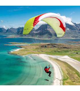
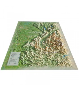
These 3D relief maps can also be used as decoration. Accompanied by an attractive wooden frame, they can decorate a wall or desk, for example. If you like, you can even add needles and thread to help your guests or visitors visualize your hiking routes or your most incredible paragliding flights.
Data sheet
 Garanties sécurité
(à modifier dans le module "Réassurance")
 Politique de livraison
(à modifier dans le module "Réassurance")
 Politique retours
(à modifier dans le module "Réassurance")


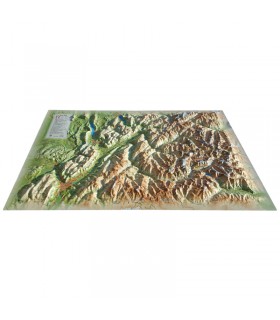
Fly over the Vercors and Chartreuse national parks with this 3D map from 3DMap. With its rare precision, this map faithfully recreates the relief of this magnificent region.
Dimensions (cm): 41 x 61
Scale: 1:20,000
Possibility of adding a frame