


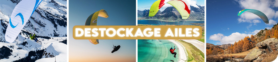


Economisez 20%
Blackweek
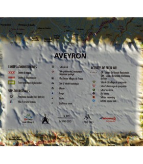
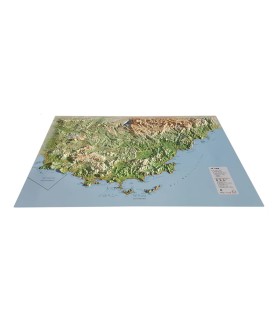
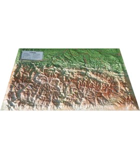
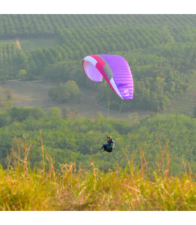
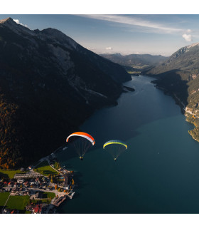
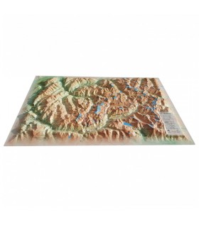
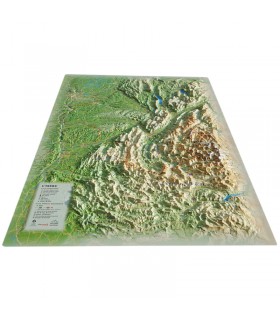
This relief map shows Brittany in 3D. The high-quality printing makes it easy to identify the mountains of the different regions and the ideal places to take off or land with a paraglider, as well as many other useful details for hikers and walkers.
Dimensions (cm): 41 x 61
Scale:
Possibility to add a wooden frame
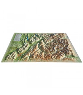
Bring an authentic touch to your decoration with the Brittany relief map. It highlights the region’s unique landscapes with its reliefs, rugged coastlines, hills, and valleys. You will also find the main geographical areas, key summits, major rivers, as well as departments, prefectures, sub-prefectures, and emblematic sites. The map also features regional natural parks, UNESCO World Heritage sites, major ports and airports, along with additional information such as local climatology and hydrology.
Produced in France, the 3DMap maps stand out for their exceptional print quality, far superior to previous generations. This unique rendering is made possible by a specially developed 3D processing software that accurately exploits geographical and bathymetric data.
For an even better presentation, choose a matching frame (available in 4 colors).
And if you are passionate about Brittany, note that Air et Aventure also offers other 3DMap relief maps to help you travel through France and beyond.
Data sheet
This relief map shows Brittany in 3D. The high-quality printing makes it easy to identify the mountains of the different regions and the ideal places to take off or land with a paraglider, as well as many other useful details for hikers and walkers.
Dimensions (cm): 41 x 61
Scale:
Possibility to add a wooden frame
 Garanties sécurité
(à modifier dans le module "Réassurance")
 Politique de livraison
(à modifier dans le module "Réassurance")
 Politique retours
(à modifier dans le module "Réassurance")