


Economisez 20%
Blackweek
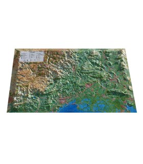
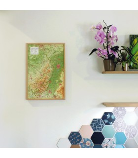
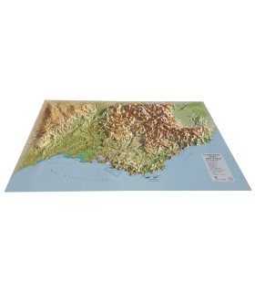
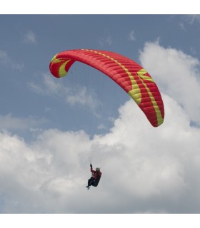
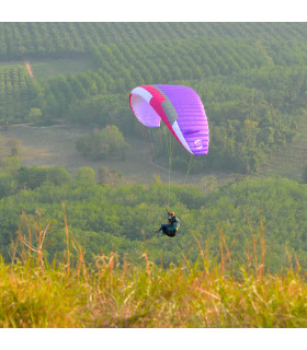
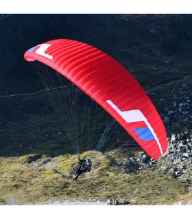
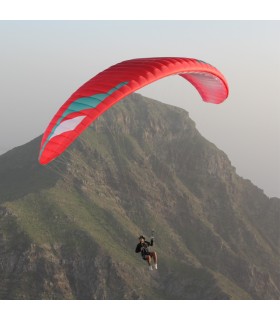
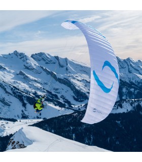
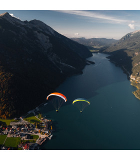
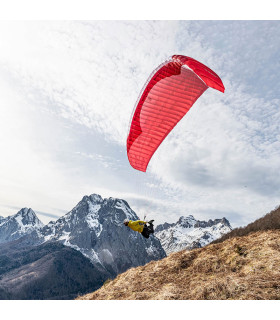
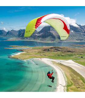
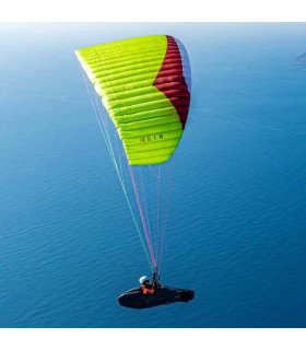
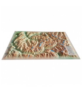
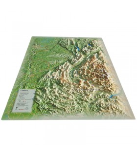
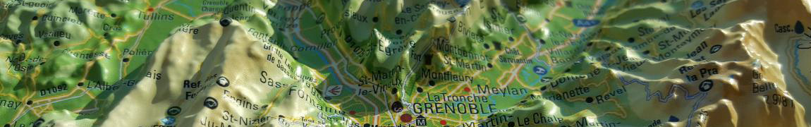
The Ariège relief map shows you the region from the air. Thanks to its 3D relief, you'll easily find the region's mountain ranges, as well as the best spots for paragliding.
Dimensions (cm): 41 x 61
Planimetric scale: 1/300 000
Height scale: 1/150,000
Possibility of adding a frame
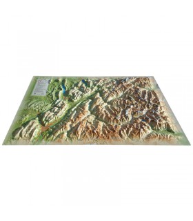
This relief map presents the Ariège region. From Andorra to the Haute Garonne, via the Pyrénées Orientales, this map will guide you through this beautiful region. You'll find paragliding sites, observatories, France's most beautiful villages and much more:
3DMap brand maps mark a new departure in the world of cartography. They are the fruit of major R&D efforts, and offer exceptional quality. Created by two brothers from the Vaucluse region of France with a passion for geography, 3D Map 's maps are designed to highlight the cultural, sporting and tourist attractions of France's regions.
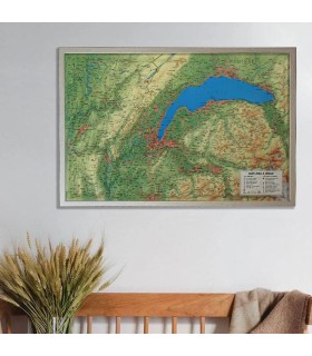
Last but not least, you can add a frame to your relief map ( available in 4 colors) for a more attractive presentation.
Data sheet
The Ariège relief map shows you the region from the air. Thanks to its 3D relief, you'll easily find the region's mountain ranges, as well as the best spots for paragliding.
Dimensions (cm): 41 x 61
Planimetric scale: 1/300 000
Height scale: 1/150,000
Possibility of adding a frame
 Garanties sécurité
(à modifier dans le module "Réassurance")
 Politique de livraison
(à modifier dans le module "Réassurance")
 Politique retours
(à modifier dans le module "Réassurance")