


Economisez 20%
Blackweek
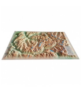
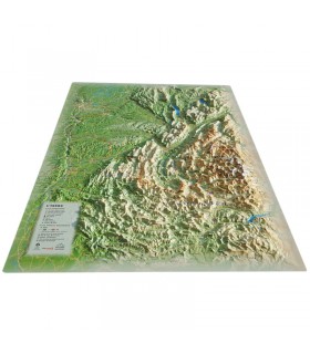
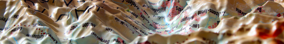
Discover a detailed relief map of the Hautes-Pyrénées, ideal for exploring the natural, cultural, and touristic richness of the region at a glance.
Dimensions (cm): 41 x 61
Horizontal scale: 1 : 190,000
Vertical scale: 1 : 100,000
Frame optional
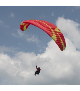
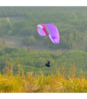
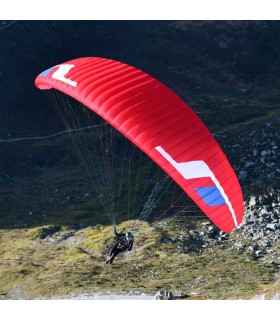
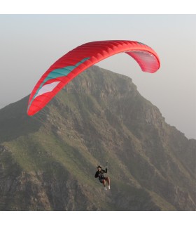
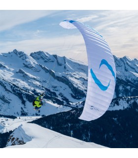
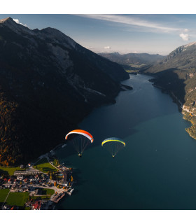
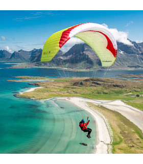
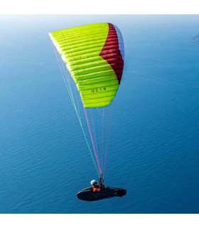
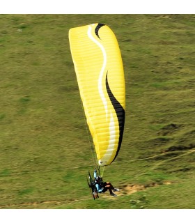
The 3D relief map of the Hautes-Pyrénées offers a true-to-life representation of the mountain range, modeling mountains, valleys, rivers, and trails in three dimensions. It highlights natural sites, picturesque villages, ski resorts, and outdoor activities such as hiking, paragliding, or skiing. Made in France with high-quality materials and advanced modeling technology, it is ideal for educational, touristic, or decorative use. A beautiful tribute to the natural richness of the Hautes-Pyrénées.
Entirely made in France, the 3DMap brand maps are the result of significant R&D efforts and offer unmatched quality, clearly standing out from traditional old-style relief maps.
To enable wider use of geographic data, including bathymetric data, a dedicated 3D processing software was specifically developed.
Data sheet
 Garanties sécurité
(à modifier dans le module "Réassurance")
 Politique de livraison
(à modifier dans le module "Réassurance")
 Politique retours
(à modifier dans le module "Réassurance")


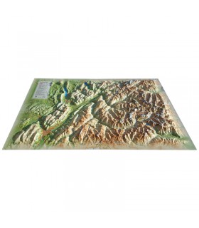
Discover a detailed relief map of the Hautes-Pyrénées, ideal for exploring the natural, cultural, and touristic richness of the region at a glance.
Dimensions (cm): 41 x 61
Horizontal scale: 1 : 190,000
Vertical scale: 1 : 100,000
Frame optional