


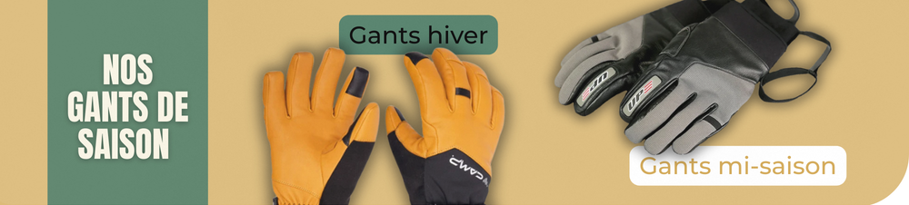


Economisez 20%
Blackweek
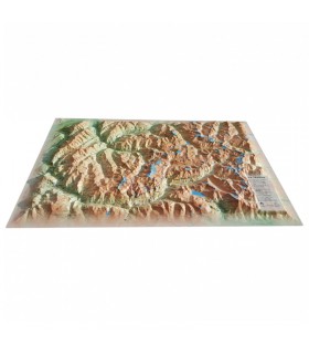
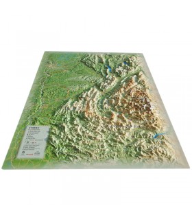
Explore the Tarn region with this relief map from 3DMap. Made entirely in France, it offers perfect precision. Easily locate various features with the numerous details represented: massifs, natural sites, refuges, and more on the map.
Dimensions (cm): 41 x 61
Scale: 1/290,000
You can add a frame
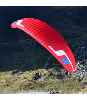
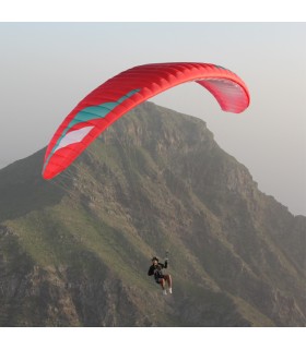
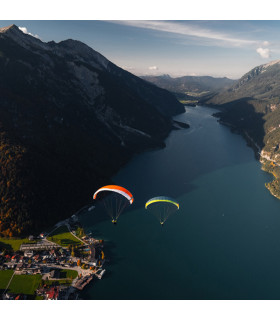
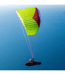
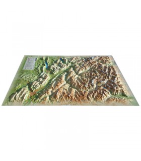
Explore the Tarn with this exquisite relief map from 3DMap. Made entirely in France, it provides perfect precision and includes numerous details such as paragliding sites, major massifs, observatories, thermal stations, airfields, and much more:
Produced by 3DMap, these 100% French-made maps feature superior quality and precision. Enhanced with specialized 3D processing software for geographical data, they surpass traditional relief maps. For improved presentations, you can mount your relief map of the Tarn on a frame.
Explore more relief maps from 3DMap available at Air et Aventure!
Data sheet
 Garanties sécurité
(à modifier dans le module "Réassurance")
 Politique de livraison
(à modifier dans le module "Réassurance")
 Politique retours
(à modifier dans le module "Réassurance")


Explore the Tarn region with this relief map from 3DMap. Made entirely in France, it offers perfect precision. Easily locate various features with the numerous details represented: massifs, natural sites, refuges, and more on the map.
Dimensions (cm): 41 x 61
Scale: 1/290,000
You can add a frame