


Economisez 20%
Blackweek
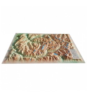
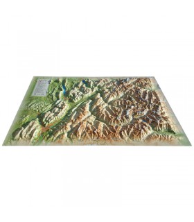
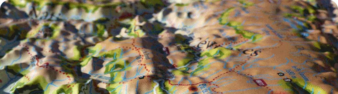
Discover the relief map of La Lozère. Made by 3DMap, it presents the region from a new angle, and lets you discover many places and sites thanks to the wealth of information it displays.
Dimensions (cm): 41 x 61
Planimetric scale: 1:260,000
Height scale : 1:75,000
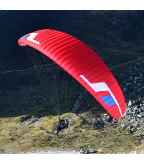
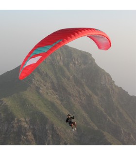
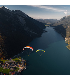
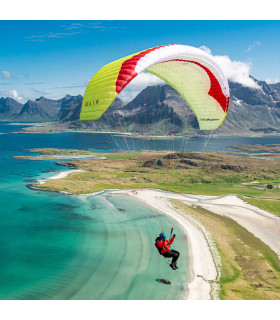
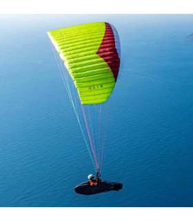
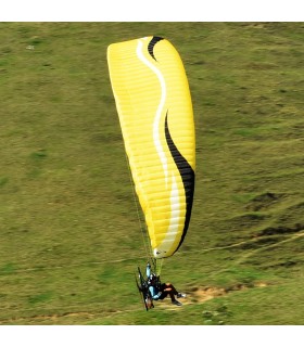
Discover 3DMap's relief map of La Lozère. You'll find it easy to guide you around the famous Parc Naturel Régional de l'Aubrac. Its reliefs and indications make it easy to read and understand. You'll find museums, caves, sites of interest and paragliding take-off and landing points, for example.
You'll also find a wealth of other information:
3DMap brand maps offer a print quality far superior to that of older relief maps. This is the fruit of major R&D efforts and French design.
In addition, 3D processing software has been specifically developed to enable wider use of geographic information, such as bathymetric data.
For an even better presentation, complete your relief map with a suitable frame (available in 4 colors).
And don't forget thatAir et Aventure also offers many other 3D maps from 3DMap. Don't hesitate to discover them!
Data sheet
 Garanties sécurité
(à modifier dans le module "Réassurance")
 Politique de livraison
(à modifier dans le module "Réassurance")
 Politique retours
(à modifier dans le module "Réassurance")


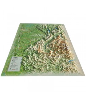
Discover the relief map of La Lozère. Made by 3DMap, it presents the region from a new angle, and lets you discover many places and sites thanks to the wealth of information it displays.
Dimensions (cm): 41 x 61
Planimetric scale: 1:260,000
Height scale : 1:75,000