


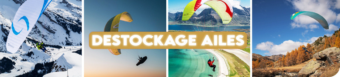


Economisez 20%
Blackweek
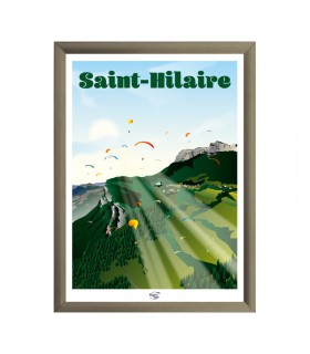
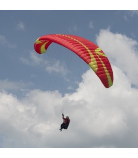
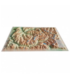
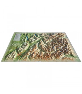
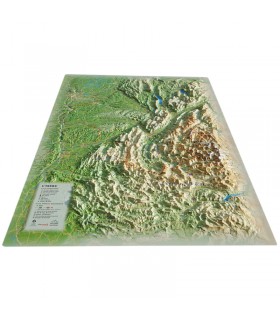
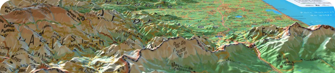
This relief map of the Pyrénées-Orientales is made by the expert brand 3DMap. It presents this fabulous French region ideally from the air. Breathtakingly accurate, this 3DMap gives you a wealth of useful information for hiking, sightseeing, paragliding and more...
Dimensions (cm): 41 x 61
Planimetric scale: 1 / 240,000
Altimetric scale: 1:150,000
Possibility of adding a frame.
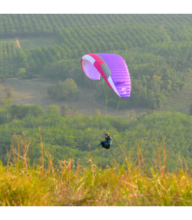
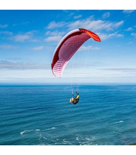
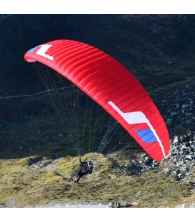
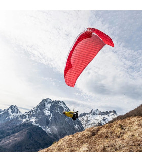
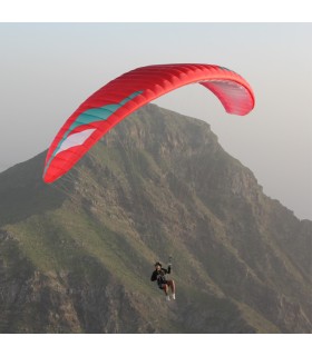
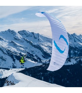
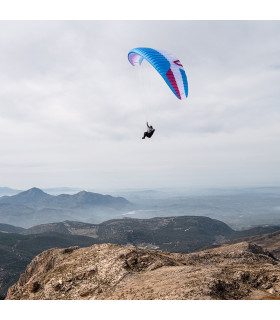
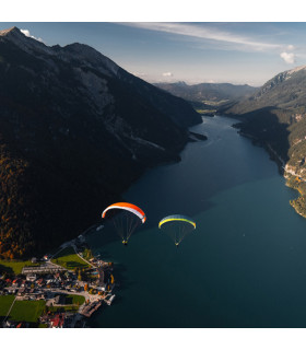
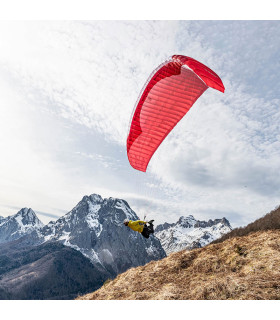
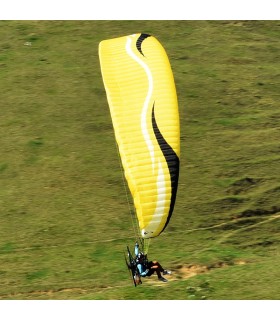
Get your bearings with the Pyrénées-Orientales relief map and discover the captivating mountains and reliefs of this region as rarely seen. You can also view paragliding sites, ski resorts, Via Ferrata sites and much more:
In 2016, 3Dmap was launched by a sibling group with a passion for geography. The brand offers relief cartography to enhance regions. Thanks to an innovative approach and advanced technologies, 3Dmap transforms geographic information into detailed maps, including underwater relief, with remarkable precision and quality.
3DMap brand maps offer a print quality far superior to that of older relief maps. This is the result of extensive R&D efforts and French design.
For a better presentation, complete your 3D map with a suitableframe (available in 4 colors).
And don't forget thatAir et Aventure also offers many other 3DMap relief maps . Don't hesitate to discover them!
Data sheet
This relief map of the Pyrénées-Orientales is made by the expert brand 3DMap. It presents this fabulous French region ideally from the air. Breathtakingly accurate, this 3DMap gives you a wealth of useful information for hiking, sightseeing, paragliding and more...
Dimensions (cm): 41 x 61
Planimetric scale: 1 / 240,000
Altimetric scale: 1:150,000
Possibility of adding a frame.
 Garanties sécurité
(à modifier dans le module "Réassurance")
 Politique de livraison
(à modifier dans le module "Réassurance")
 Politique retours
(à modifier dans le module "Réassurance")