


- Out-of-Stock

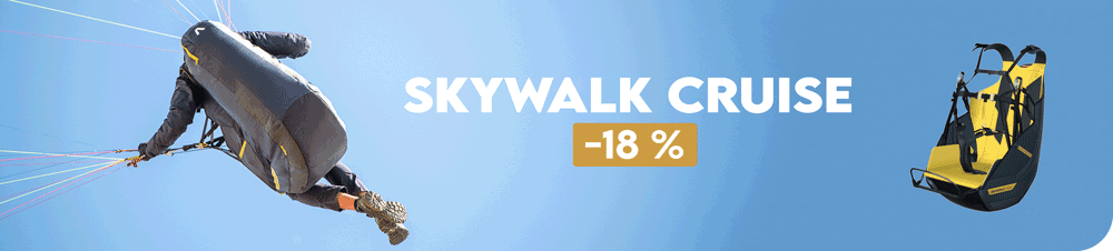


Economisez 20%
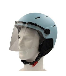
Blackweek
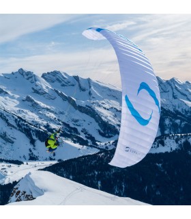
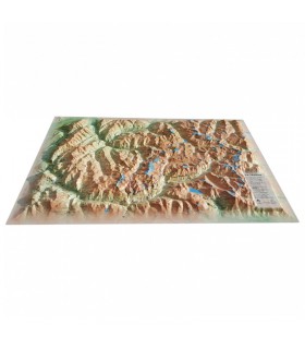
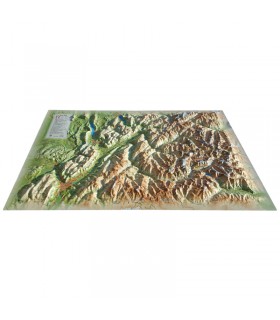
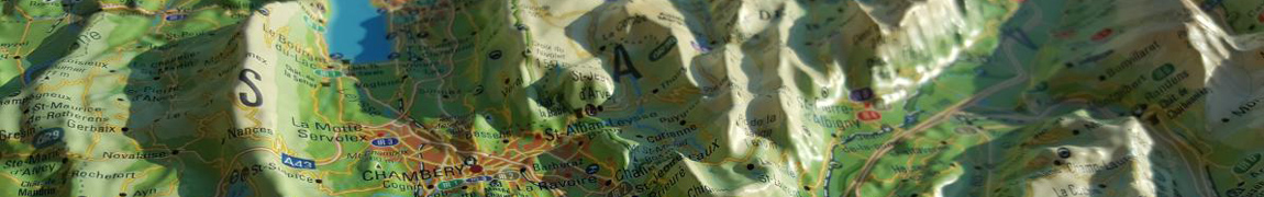
Fly over Occitania with this 3DMap relief map. Made 100% in France, it's perfectly accurate. You'll easily find what you're looking for, thanks to the wide range of information represented on the map: mountain ranges, natural sites, refuges and much more.
Dimensions (cm): 41 x 61
Planimetric scale: 1/900,000
Height scale : 1/160,000
Possibility of adding a frame
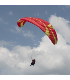
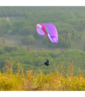
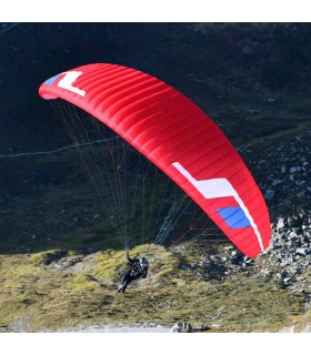
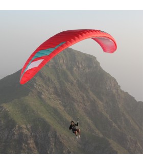
This beautiful relief map lets you discover the Occitanie region. From the Nouvelle Aquitaine region to the Parc Naturel du Haut Languedoc, via the Pyrenees mountain range, you'll find the region's paragliding sites and major mountain ranges. This rare quality map will guide you through all the mountain ranges of the region. You'll find observatories, spas, airfields and much more:
Made 100% in France, 3DMap brand maps are the fruit of major R&D efforts, offering unrivalled quality that sets them apart from traditional relief maps.
To enable a wider use of geographic information, such as the exploitation of bathymetric data, 3D processing software has been specifically developed.
To enhance your presentations, it is possible to mount your Occitanie relief map on a frame (available in 4 colors).
Data sheet
 Garanties sécurité
(à modifier dans le module "Réassurance")
 Politique de livraison
(à modifier dans le module "Réassurance")
 Politique retours
(à modifier dans le module "Réassurance")


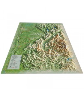
Fly over Occitania with this 3DMap relief map. Made 100% in France, it's perfectly accurate. You'll easily find what you're looking for, thanks to the wide range of information represented on the map: mountain ranges, natural sites, refuges and much more.
Dimensions (cm): 41 x 61
Planimetric scale: 1/900,000
Height scale : 1/160,000
Possibility of adding a frame